Contact sales for more offers!!
Currency
This option includes upgrading your older Rhino version to Rhino 8, and your Lands Design to version 6. It is for users with a valid license of any older Rhino and Lands Design versions. Elevate both software packages and experience the refreshed cool interface.
See what’s new
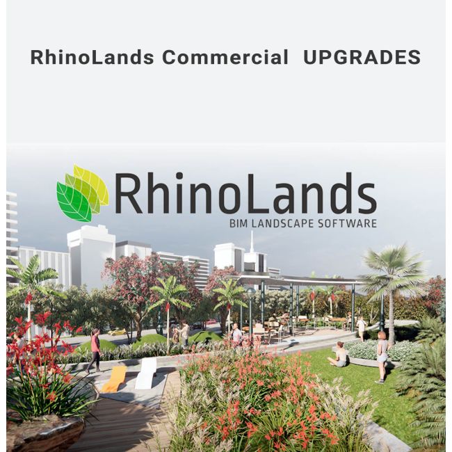
Landscape design projects in different scales and sectors can be easily provided by RhinoLands. It’s your powerful tool in the design process for generating 2D layouts, 3D models and realistic images and videos.
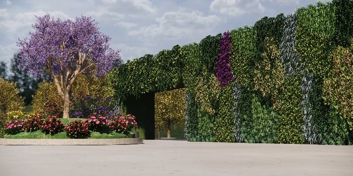
Natural areas can act as an infrastructure, protecting the built environment from pollutions, water flooding or excessive heat. RhinoLands gives you the power to add vertical gardens, green roofs and green areas to your architectural and civil engineering projects.
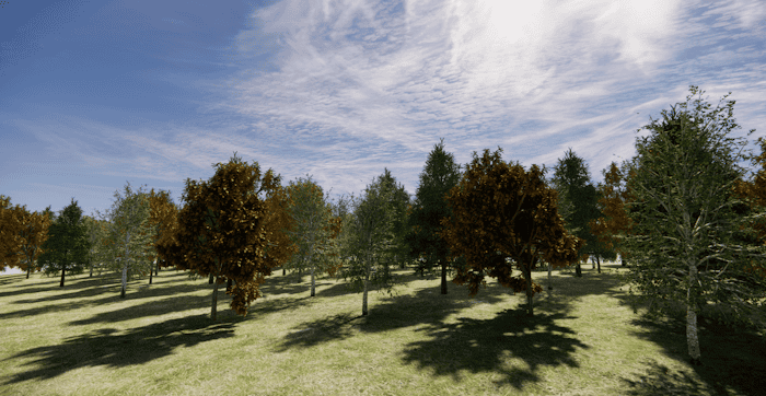
The powerful terrain, forest and irrigation tools accompanied with hardscape tools, can be used in design process and modeling of forests in silviculture sector. BIM technology visualizes seasonal change and annual growth of plants.
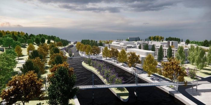
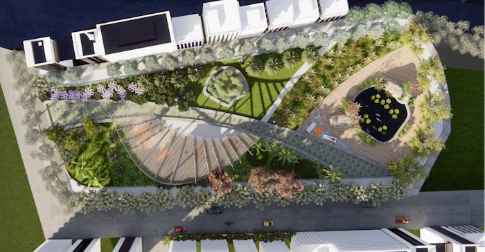
Urban vegetation plays a key role in improving the quality of the built environment. In introducing plants as essential natural elements in urban planning projects, RhinoLands helps you to design public spaces, joint with green areas, lets you choose the adequate plant selection and visualize the urban area in different seasons.
Why use
RhinoLands
Experience intelligent elements like vegetation, hardscape, and terrains for effortless editing and meticulous documentation, streamlining quantity assessments.
RhinoLands generates linked 2D technical drawings, tightly integrated with the 3D model and accompanying documentation. Unleash the potential of RhinoLands for superior project management.
Effortlessly turn 2D sketches into 3D projects. Generate precise technical plans from your 3D model, adding dimensions, labels, and annotations. Organize your project with the layer manager and produce various layouts. Use listing tools for quick quantity take-offs. RhinoLands simplifies your documentation process.
Immerse your audience with realistic images, virtual tours, and animated videos. Showcase your project in stunning detail—walkthrough, simulate vegetation changes, and animate sunlight.
In addition to Rhino render, you can integrate your preferred render engine for breathtaking visual presentations, such as Enscape, Lumion, V-Ray, Twinmotion, and more. RhinoLands transforms your project experience.
Craft 3D terrains and perform precise grading tasks using RhinoLands. Generate terrains from topographic contours, meshes, and point clouds, or import them from satellite maps.
Refine terrains by adding cuts, fills, paths, and holes, and effortlessly calculate area and volume movements. With RhinoLands, manipulate terrain and grading with ease, ensuring optimal project precision.
Access over 8000 plant species in our comprehensive database. Easily find the perfect fit for your site by filtering based on criteria such as climate, soil type, wind resistance, and flowering characteristics. Each plant species offers customizable 2D and 3D display modes, ready for rendering, plan exporting, and season/growth simulation.
Automate tasks for vegetation, terrains, and civil elements, saving time and offering custom functionalities. Utilize Grasshopper, fully integrated into RhinoLands, for swift testing of various design options.
Import and export files effortlessly across platforms with RhinoLands’ support for various formats. Integrate web block libraries with ease. Transition your project into virtual reality, prepare for 3D printing or export for web browsers. Experience versatile sharing options.
Lands Design works on top of Rhino and AutoCAD / Civil 3D and takes advantage of all their features to complete all stages of a landscape project.

Craft dimension plans, mark slopes and elevations, and effortlessly add labels wherever you need to include notes or information with our versatile drafting tools.
Generate plant, furniture, Terrain, irrigation, wall, Path, Fence, and zoning lists by marking insertion points on the plan. Lists update automatically with project modifications, exportable to Excel for analysis.
This feature enables you to tag plants to be able to quickly identify each species in the landscape planting plan.
Elevate the artistic essence of your landscape design by effortlessly incorporating species photos with our user-friendly tool.
Utilize Zonify command to establish project areas effortlessly. Insert labeled zones with details like name, area, 2D hatch pattern, and rendered view material for comprehensive visualization.
Make your model sections, using clipping planes you can move through the model, and capture the best section lines.
Create stunning print layouts. Layout settings enable captivating presentations and comprehensive documentation preparation. Designs are print-ready, ensuring a polished showcase for clients.